The Regions of Iceland
Iceland is a medium-sized country located primarily on an island in the middle of the North Atlantic Ocean. The divisions inside the territory can be a bit difficult to understand.
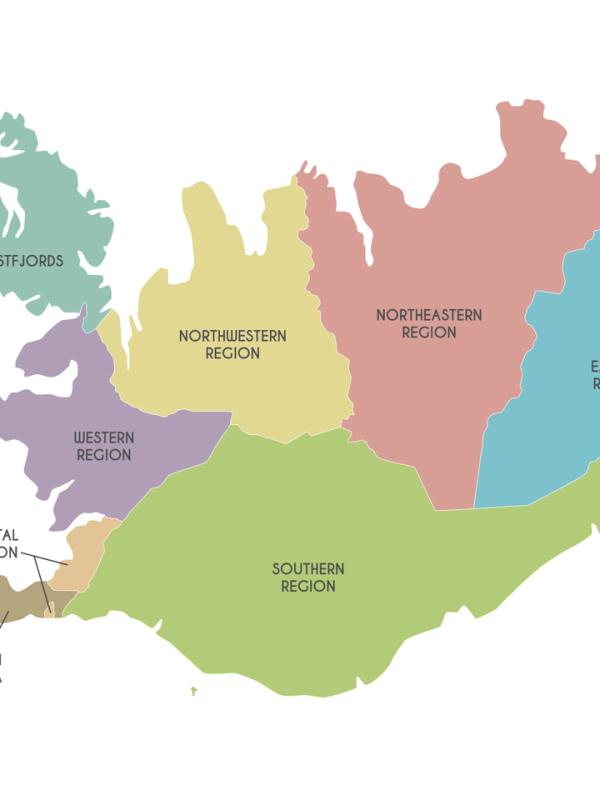
This is mainly because, historically, the country is divided into eight regions. Today, these divisions are only used for statistical purposes. If we get into divisions regarding elections and administration in general, the country is divided into constituencies, and there are six of them. Some align with the regions, but not all of them. Initially, there were eight constituencies until 2003, the same as the regions, but they were rearranged that year. When it comes to local matters like schools, transport, and zoning, Iceland is divided into 64 municipalities. In this guide, we will focus on the eight main regions, which is the most popular way to understand Iceland's geography. All of them have different sizes and populations. Some are small but densely populated, while others barely have a few thousand inhabitants in quite a large territory.
Key takeaways
- Iceland is divided into eight main regions.
- The Capital Region, including Reykjavik and its metropolitan area, has more than half of the population of the country.
- The Vestmannaeyjar, also known as the Westman Islands, form a special district not included in any of the regions.
1. The Capital Region (Höfuðborgarsvæðið)
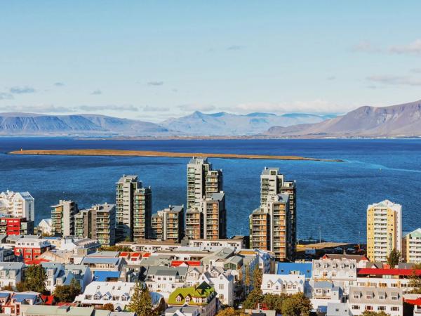
This region is basically Reykjavik’s metropolitan area. The name of the Capital Region in Icelandic is Höfuðborgarsvæðið, and it comprises Reykjavík and six surrounding municipalities: Kópavogur, Hafnarfjörður, Garðabær, Mosfellsbær, Seltjarnarnes, and Kjósarhreppur. It’s the smallest region of the eight but has 64% of the entire country’s population.
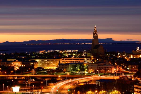
The heart of the region is, obviously, the capital. Reykjavík is a vibrant city known for blending modern culture and natural beauty. Some of its most iconic landmarks are Hallgrímskirkja, the biggest and tallest Church in all of Iceland, and the Harpa Concert Hall, renowned for its distinctive architecture and cultural events. The city's downtown area is full of cafes, shops, and museums for all interests and tastes.
What to visit?
There are several outdoor attractions in the region. Mount Esja, located just outside Reykjavík, is a popular hiking destination with breathtaking views of the surrounding landscape. Just off the city, we can find the Perlan Museum, set on Öskjuhlíð hill, which has an impressive planetarium and exhibitions about Icelandic nature.
The region’s life is urban and cosmopolitan but also connected to its surroundings and the sea. Its natural harbors offer excellent fishing opportunities, and the proximity to the ocean allows for various water sports and whale-watching tours. The region's urban and rural blend ensures there is something for everyone.
Overall, the Capital Region of Iceland provides a unique combination of cultural experiences, outdoor adventures, and natural wonders, making it a captivating destination for travelers.
2. Southern Peninsula (Suðurnes)
Southwest of Reykjavik is the region known in Icelandic as Suðurnes, or Southern Peninsula. This region comprehends the Reykjanes peninsula, a region with many geological and cultural attractions. Here’s where the main airport of the country, Keflavík, is located.
The region also has one of the best collections about Viking culture, the Viking World Museum in Reykjanesbær. It features a full-scale replica of a Viking ship and fascinating exhibits on Viking history and culture. This city is also home to the Icelandic Museum of Rock 'n' Roll, celebrating the country's rich musical history.
What to visit?
The best-known feature in this region is, without a doubt, the Blue Lagoon. This natural geothermal spa is famous for its milky blue water rich in minerals, which are believed to have therapeutic properties. Taking a relaxing natural hot bath while surrounded by an astonishing volcanic landscape is an unparalleled experience.
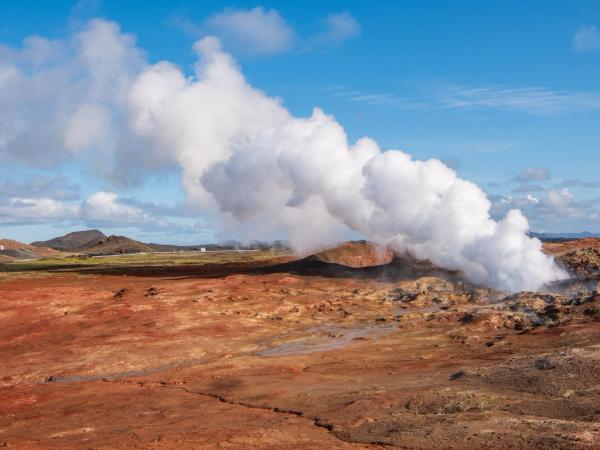
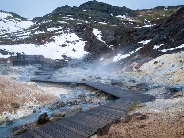
On the southwesternmost tip of the peninsula is the Reykjanesviti lighthouse, the oldest lighthouse in Iceland. It’s not only a beautiful building with amazing views of the coast but is also close to the geothermal area of Gunnuhver. This place is known for its steam vents and bubbling mud pool, which can give an idea of the impressive forces beneath the surface.
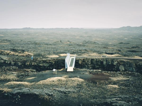
The peninsula is also home to the Bridge Between Continents, that spans over the rift created by the separation of the North American and Eurasian tectonic plates. This literally means you can walk over two continents in just a few steps.
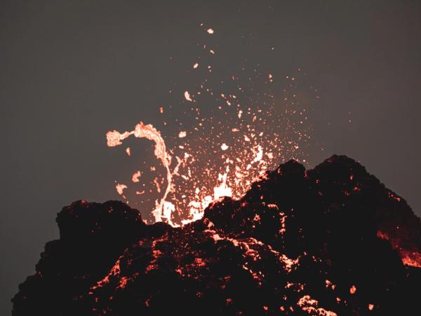
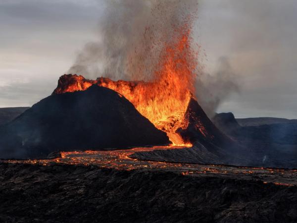
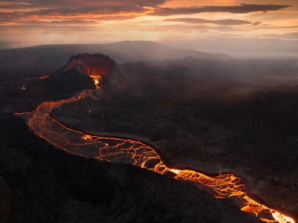
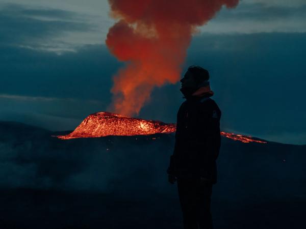
For those interested in exploring volcanic landscapes, a good option is Fagradalsfjall, where you can visit lava fields and crater. There are hiking trails in the area, which allows you to get an up-close view.
3. Western Region (Vesturland)
The Western Region of Iceland, known locally as Vesturland, is a great mix of natural wonders and cultural experiences. It’s north of the Capital region, with easy access from Reykjavik.
The Vikings
West Iceland also has several historical and cultural sites. The settlement of Reykholt was once home to Snorri Sturluson, a medieval writer and chieftain. Additionally, the town of Borgarnes offers attractions such as the Settlement Center, a place of importance regarding the Viking era, and the Icelandic sagas, with a collection of interactive exhibits and multimedia presentations.
The region's rugged coastline is dotted with charming fishing villages, many of them worth a visit. The area of Borgarfjörður, with its hiking trails, lava fields, and scenic fjords, is highly recommended.
What to visit?
There’s a lot of things to do and see here, but the main attraction here is, by far, Snæfellsjökull National Park, one of the three national parks there are in Iceland. The park, located in the Snæfellsnes Peninsula, takes its name from a glacier-capped volcano that crowns the area. This mountain offers amazing views from the top. You can even see Reykjaivik on a clear day, and it's 120 kilometers (75 miles) away. It’s not only beautiful but also a place of literary importance, as the volcano is the gateway to the unknown in Jules Verne's novel "Journey to the Center of the Earth."
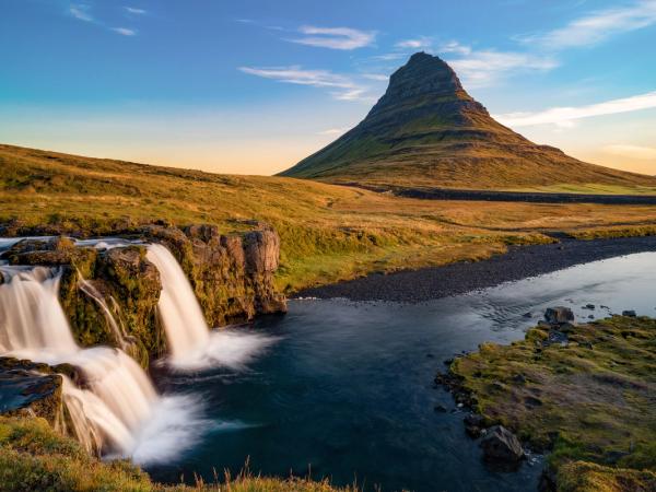
Another must-visit location in the Snæfellsnes Peninsula is Kirkjufell, the most photographed mountain in Iceland.
For those looking for waterfalls, in this region you can go to Hraunfossar, where water flows through lava fields into the Hvítá river, creating a series of beautiful cascades. Nearby is Barnafoss, a more turbulent and dramatic fall.
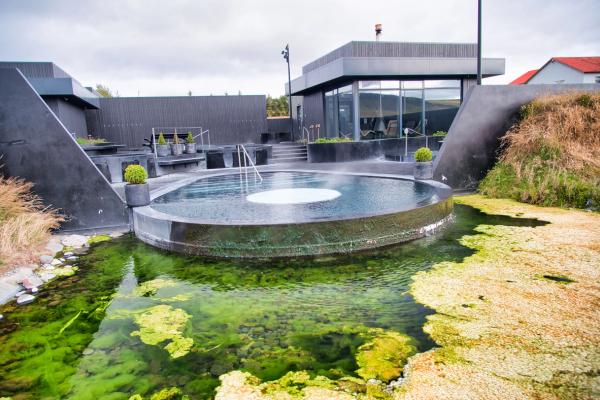
If you are looking for geothermal activity, Deildartunguhver is in this region. There is Krauma, a natural spa with geothermal baths, offering a relaxing experience in these warm waters.
4. Westfjords (Vestfirðir)
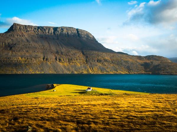
In the northwest corner of Iceland is the region of Vestfirðir, or Westfjords. This region is one of the most remote in the country, and it’s also one of the least populated. The area is shaped by the fjords, which create a unique landscape. The lack of flatlands has historically made it difficult for agriculture to prosper here and for larger settlements to develop.
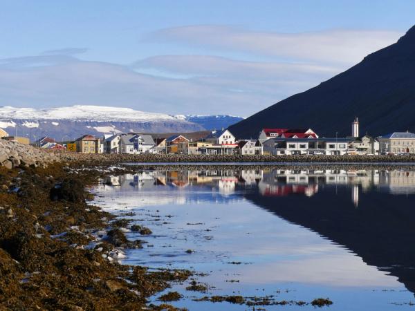
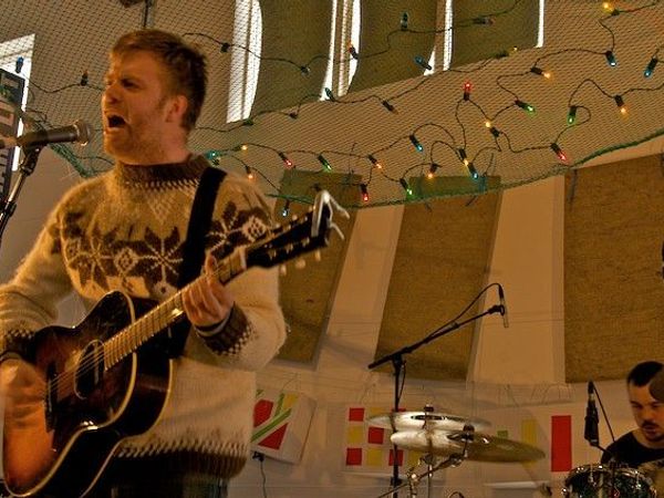
The largest town in the Westfjords is Ísafjörður. This place could be a great spot to use as a hub for exploring the region. The town is quite charming, with its wooden buildings, vibrant cultural scene, and the annual music festival, Aldrei Fór Ég Suður. There are hiking trails and kayaking tours available to see the surrounding fjords.
What to visit?
One of the most iconic sights in the Westfjords is the Dynjandi waterfall, often referred to as the "Jewel of the Westfjords." This is a several-tier cascade, with a total drop of 100 meters. It's a popular spot for hiking and photography, offering stunning views from various angles.
The region is also home to the Hornstrandir Nature Reserve, one of the most isolated places in Iceland. This sanctuary of wildlife is accessible only by boat during the summer months. Visitors can spot Arctic foxes and a variety of bird species in this protected area.
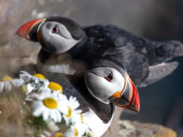
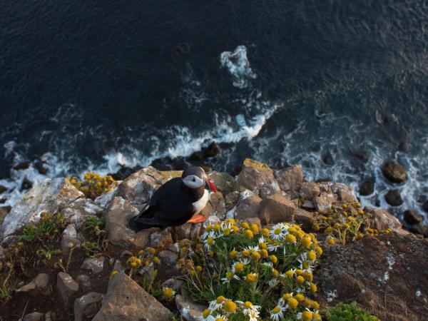
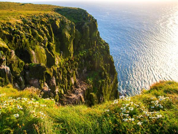
Another must-visit location is the Látrabjarg cliffs, the westernmost point of Iceland and Europe. Apart from the dramatic set, it’s a great spot for birdwatching. These cliffs are home to millions of seabirds, including puffins, razorbills, and guillemots.
And, as it could not be any other way, because this is Iceland, there are several hot springs and geothermal baths. You can go to Reykjafjörður and Drangsnes, where you can soak in warm, mineral-rich waters while enjoying spectacular views of the fjords.
5. Northwestern Region (Norðurland Vestra)
The Northwestern Region of Iceland, known as Norðurland Vestra, is close to the Westfjords. It is also a vast land with little population, but it’s full of natural beauty, historical sites, and unique attractions.
The region is also famous for its horse culture. One of the most iconic animals in this Nordic country is the Icelandic horse. These gentle and friendly creatures are small but powerful. Many have been domesticated while some others remain wild. There are tours available, and you can have the experience of exploring the amazing landscapes this region has while riding these magnificent beasts.
What to visit?
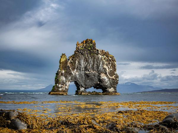
One of the main attractions in the Northwestern Region is Hvitserkur. It’s a 15-meter-tall rock formation just off the shore in the Vatnsnes Peninsula. The rock resembles a dragon drinking from the sea, although some people claim they see an elephant. It’s one of the most photographed natural monuments in the country. Hvitserkur is also a great bird-watching spot.
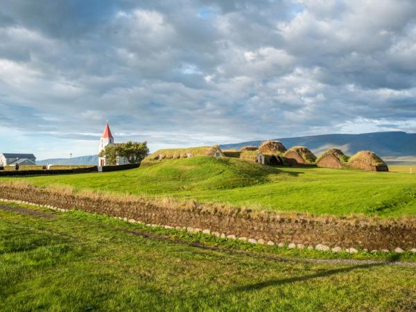
The main city in the region is Sauðárkrókur, known for its vibrant cultural scene and historical significance. Here you can visit the Glaumbær Turf Farm & Museum, a window to Icelandic life in past centuries with its well-preserved traditional turf houses.
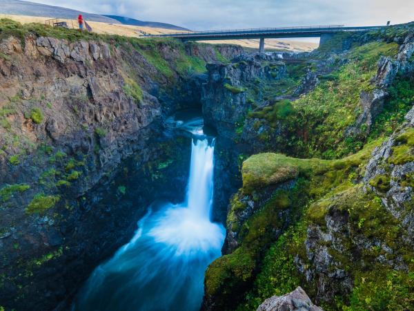
The Vatnsnes Peninsula is a great place to visit through its many hiking trails, like the one leading to the Kolugljúfur Canyon. There, the Kolufossar waterfall drops into a gorge, creating a stunning natural spectacle.
Regarding geothermal areas, one of the most famous in Norðurland Vestra is Grettislaug. This spot is named after Grettir the Strong, a legendary figure from the Icelandic sagas. The pool is relatively small and less crowded than some of Iceland's more famous hot springs
6. Northeastern Region (Norðurland Eystra)
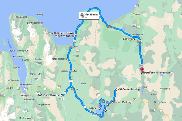
This is the other half of what’s considered as North Iceland. This area is much bigger and populated than its twin on the west, and it’s a region filled with diverse natural wonders and rich cultural sites. The region has one of the main scenic routes in the whole country:
The Diamond Circle, a 260-kilometer (150 miles) circuit that has some of Iceland's most spectacular natural attractions.
The main city in the region is the town of Akureyri, often called the "Capital of the North.” It’s located on the shores of Eyjafjörður, Iceland’s longest fjord. You can get the best views of the city and the fjord from Akureyri Church. If you are a nature enthusiast, the Akureyri Botanical Gardens showcase a diverse range of Arctic and temperate plants.
What to visit?
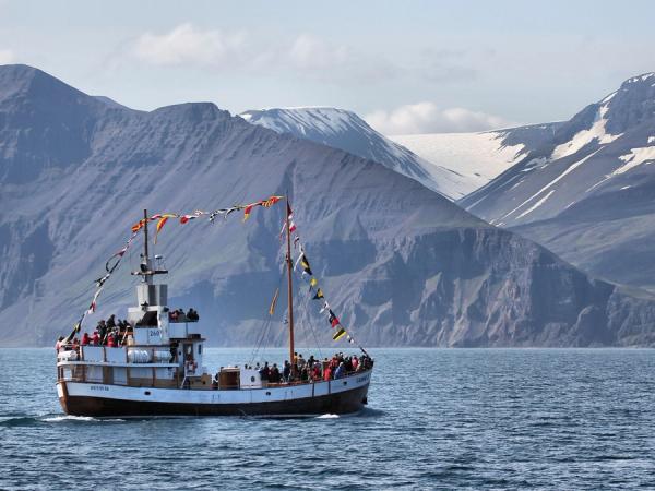
One of the main places in the Diamond Circle is the town of Husavik, known as the whale-watching capital of Iceland. This is one of the best spots to embark in a tour to see Orcas, humpback whales and even blue whales, as well as dolphins and seabirds.
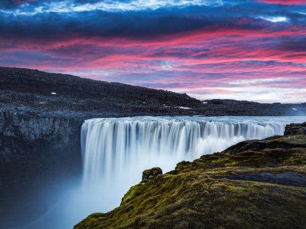
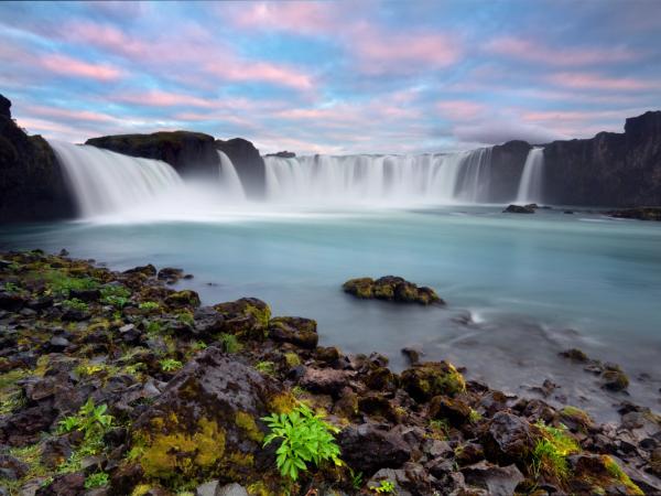
Two of Iceland’s most important waterfalls are also in the Diamond Circle: Dettifoss and Goðafoss. Dettifoss is the second most powerful waterfall in Europe, and it’s part of the Vatnajökull National Park. Dettifoss is 45 meters high and 100 meters wide, and the rumbling sound of the water is just impressive. On its part, Goðafoss is not as impressive in size, but it’s a beauty. Here, you’ll be struck by the color of the water, a vivid turquoise hue.
Another major stop on the Diamond Circle is Lake Mývatn, an area known for its unique volcanic landscapes and geothermal activity. Visitors can explore the geothermal area of Hverir, with its boiling mud pots and steam vents. Or simply relax in the Mývatn Nature Baths.
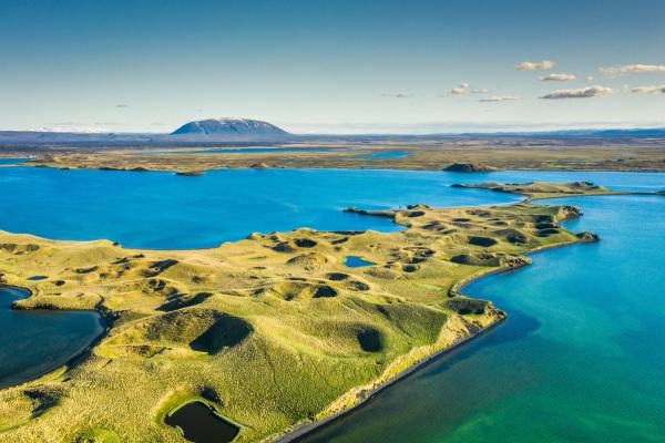
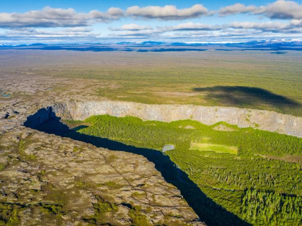
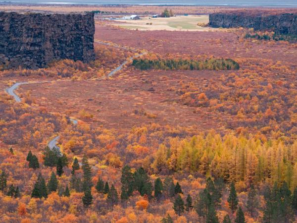
The final stop is the Ásbyrgi Canyon, a horseshoe-shaped canyon steeped in folklore. According to Norse mythology, Ásbyrgi was created when Sleipnir, Odin’s eight-legged horse, struck the land here with its hoof.
7. Eastern Region (Austurland)
We now move to the east to discover Austurland. This region is less frequented by tourists compared to other parts of Iceland but still has a lot to show you.
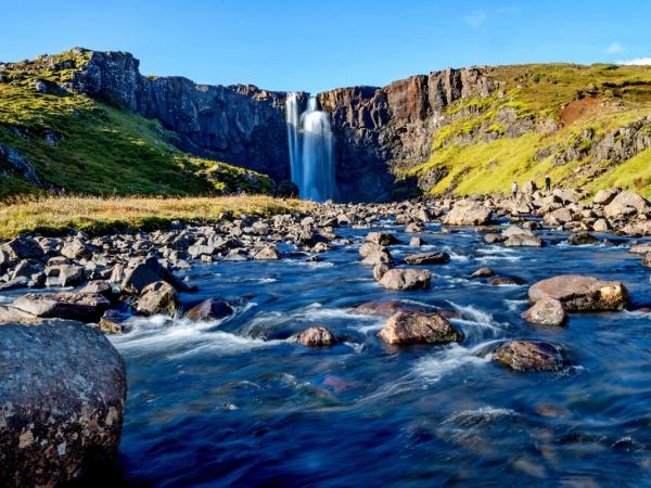
Hiking fans will find plenty of trails in the Eastern Highlands. The variety of landscapes, with green valleys, waterfalls, and panoramic views, make this area perfect to be discovered by foot. The Hengifoss waterfall, for instance, one of the highest in Iceland, is surrounded by fantastic basalt formations.
What to visit?
One of the major highlights of Austurland is the Vatnajökull National Park and Svartifoss, the stunning 'Black Waterfall'. It’s a bit tricky to include the park as an attraction of the Eastern Region, as it covers 14% of the whole of Iceland, but a big part of it is in this region. It features Vatnajökull, Europe’s largest glacier, and the park is full of ice caves and glacial lagoons.
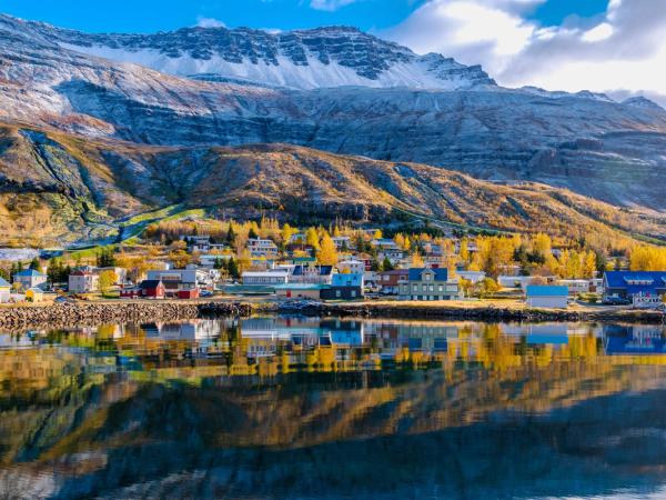
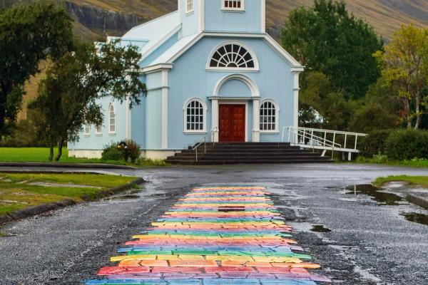
Another great asset of this region is the East Fjords, with their picturesque fishing villages and rugged coastlines. The town of Seyðisfjörður, with its charming colorful wooden houses is a perfect example.
8. Southern Region (Suðurland)
We finally reached the eighth and final region on our list, the Southern Region of Iceland, known as Suðurland. This region features some of the country's most amazing natural spectacles. It's perhaps best known for the Golden Circle, a popular tourist route that includes some of Iceland's most iconic sites.
Suðurland, is a region rich in natural beauty, cultural heritage, and adventure opportunities
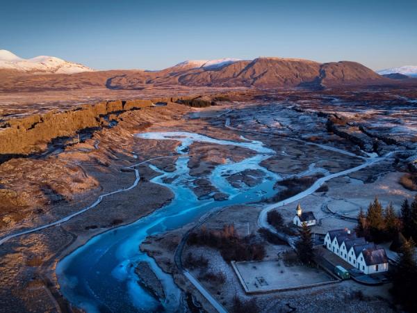
One of the main highlights is Þingvellir National Park, a UNESCO World Heritage site. This park is a rich mix of nature, culture, and history. It’s on the rift between the North American and Eurasian tectonic plates, creating amazing places like the Silfra fissure. It’s also historically very important, as here is where Iceland’s first parliament, the Alþingi, was established in the year 930.
What to visit?
A key stop on the Golden Circle is the Geysir in the geothermal areas. Here, visitors can witness the grand Strokkur geyser erupting every few minutes, shooting boiling water up to 30 meters into the air. Please make sure to protect yourself and stay inside the fenced area!
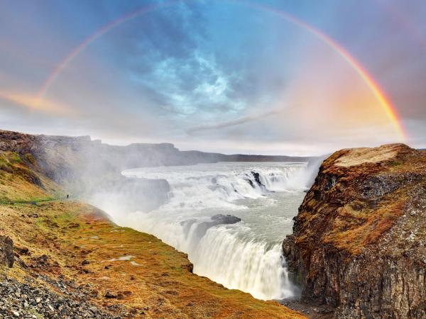
Gullfoss, or the "Golden Falls," is the third main attraction of the Golden Circle. This beautiful waterfall earns its nickname from the colorful rays of light created when the sun shines. Several trails lead to different viewpoints of the Waterfall.
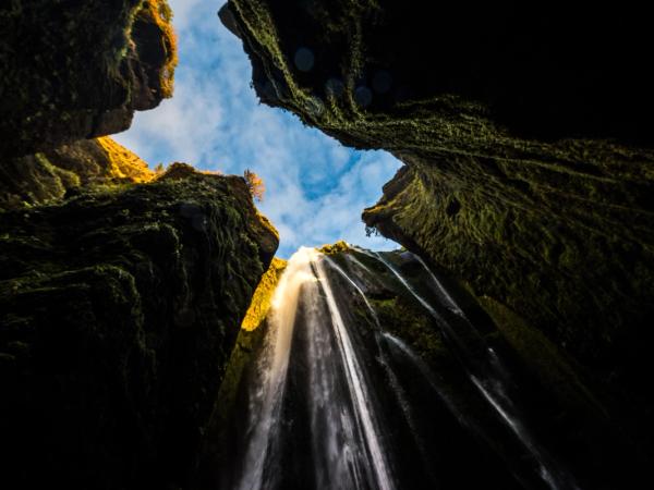
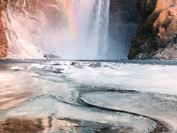
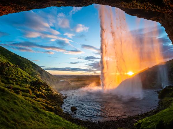
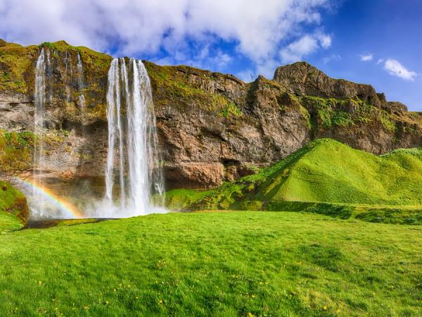
Beyond the Golden Circle, the South Coast of Iceland offers even more stunning attractions. The Seljalandsfoss and Skógafoss waterfalls are also both must-see sites. Seljalandsfoss has a unique feature, as visitors can follow a path that goes behind the waterfall, offering a unique adventure for anyone who dares.
Enchanting Beaches
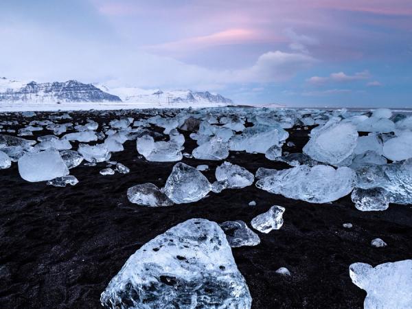
One of the most interesting attractions found on the south coast is the Jökulsárlón Glacier Lagoon. Here, big chunks of melting ice that have separated from the glacier are floating in the lagoon before drifting out to the sea. Some of these small icebergs end up in the nearby Diamond Beach, where they create a beautiful sight with the contrast of the bright blue ice on the black sand.
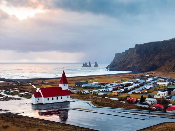
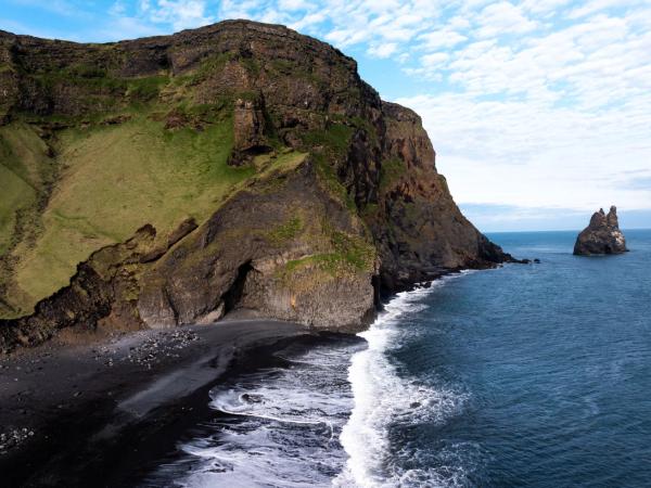
On the topic of beaches with black sand, Reynisfjara, near the village of Vík, is another location worth exploring. It’s famous for its striking basalt columns and the powerful Atlantic waves.
Conclusion: Eight amazing regions
As we’ve said, each region in Iceland is unique and full of amazing places. Some may be similar, but all of them have something that sets them apart. They are all worth a visit. We could write pages upon pages about each one of the regions that make up Iceland. Iceland has waterfalls, volcanoes, glaciers, fjords, and vibrant cities. All together they create one of the most fascinating and beautiful countries in the world.

